Japanese satellite the size of a suitcase took pictures of the earth with a resolution of 2.5 meters

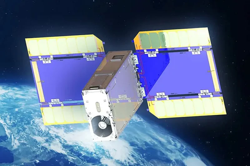
Arkedge Space from Tokyo announced the receipt of the highest quality images of the Earth ever made by a small satellite of the Cubesat format. The ANGLAISAT satellite, developed together with the TASA Taiwanese space agency, took pictures with a resolution of 2.5 meters from a height of 410 kilometers.

Image source: TASA
The Arpedge Space has published black and white images of sites about one square kilometer, on which buildings and roads in the United States are visible near Seattle and in Patagonia (Argentina), reports The Verge. The company claims that it has reached the “highest surface resolution in the world” in the Cubesat category – from 2.5 to 3 meters.

Image source: TASA
The ONGLAISAT has built-in technologies, including the Korsh optical system developed by the TASA, the CMOS Image Speaker with TIME DELAY and IntEGRATION, as well as the satellite orientation control system. All equipment fits in the 6u form factor, comparable in size with a desktop computer or suitcase, and allows you to create detailed pictures of objects on the surface of the earth, for example, roads and buildings.
The key task of the Onglaisat mission was testing the optical system in space, checking the height control system developed by the Tokyo University, and image processing. All set goals were successfully achieved.
The mini-satellite was delivered to the ISS in November 2024, and its launch in orbit took place on December 10 from the Japanese Kibo module.

Recent Posts
“What do you see: craters or bulges?” – Japanese probe Resilience photographs the south pole of the Moon
The Japanese private probe Resilience has taken a high-quality photo of the Moon's south pole…
A database containing data from 184 million accounts of Apple, Google, Microsoft and other services was just lying on the Internet
Cybersecurity researcher Jeremiah Fowler discovered a publicly available database with more than 184 million logins…
Doom: The Dark Ages Is Rightfully the King. Review
Played on PC In 2016, the Doom series returned to our screens, and did so…
Apple’s 25% tariffs will affect Samsung smartphones, Trump explains
US President Donald Trump this week said he would impose a 25% tariff on iPhones…
Thermaltake Shows Off IX700 PC Case with Immersion Cooling
Thermaltake unveiled a prototype of the IX700 system unit with an immersion cooling system at…
Warhammer 40,000: Boltgun 2 Will Be Released in 2026, and You Won’t Have to Wait for a Free Printed Shooter Based on the First Part
At the Warhammer Skulls 2025 presentation, developers from the British studio Auroch Digital announced a…